Hello!
I am a new user of Panda3d. My first project is learning to create terrain with a heightmap and colormap.
The issue I’m running in to is that the colormap seems to be inverting along the y axis.
I’ve googled and searched the best I knew how, but couldn’t answer my own question. Any help would be greatly appreciated!
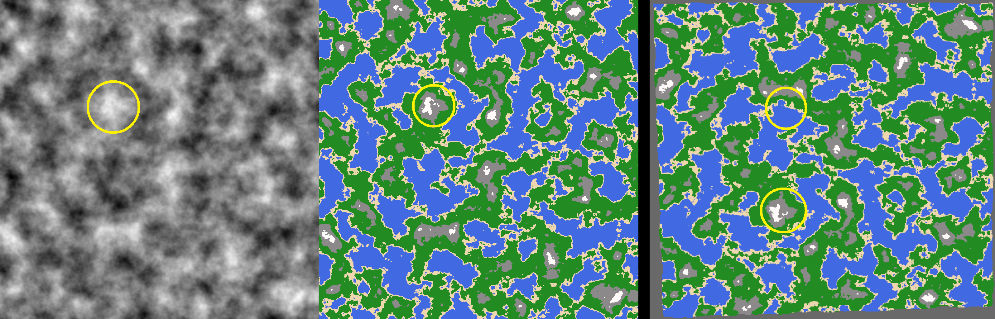
I’ve included a screenshot of the two input images and the panda-rendered result. The result (right image) has what appears to be the the correct heightmap orientation, but a colormap with y-axis inverted. The peak that is circled in yellow is properly represented in 3d space, but the corresponding colors are in the wrong place.
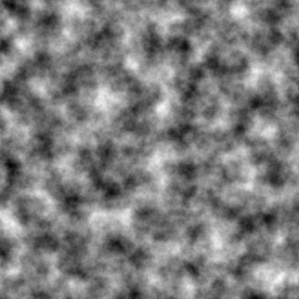
Left: input heightmap,
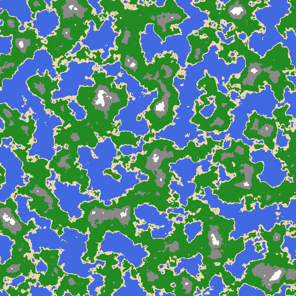
Middle: input colormap,
Right: panda3d rendered (heightmap correct orientation, colormap inverted along y axis)
from direct.showbase.ShowBase import ShowBase
from panda3d.core import GeoMipTerrain

class MyApp(ShowBase):

    def __init__(self):
        ShowBase.__init__(self)
        terrain = GeoMipTerrain("worldTerrain")
        terrain.setHeightfield("heightmap.png")
        terrain.setColorMap("colormap.png")
        terrain.setBruteforce(True)
        root = terrain.getRoot()
        root.reparentTo(render)
        root.setSz(60)
        terrain.generate()


app = MyApp()
app.run()
input images:
 !
!