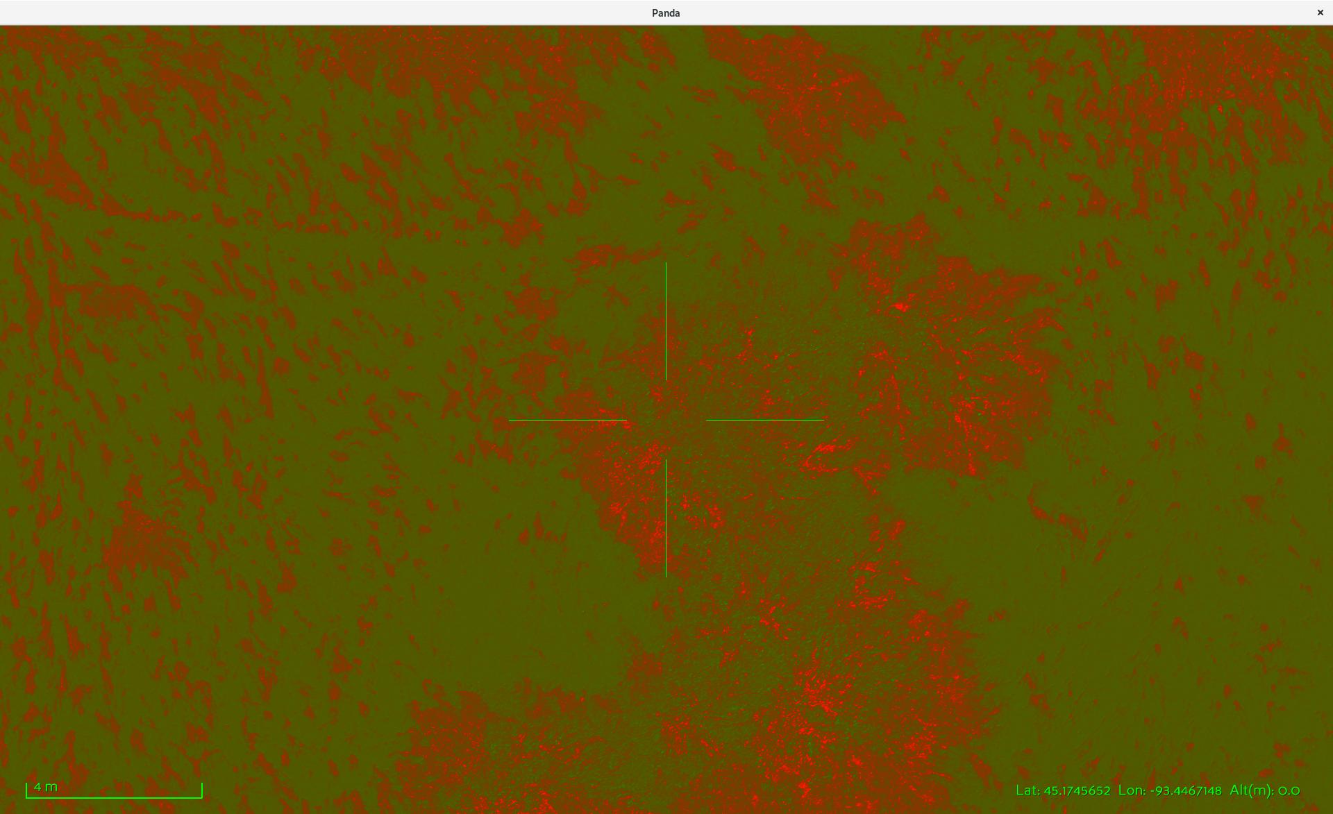
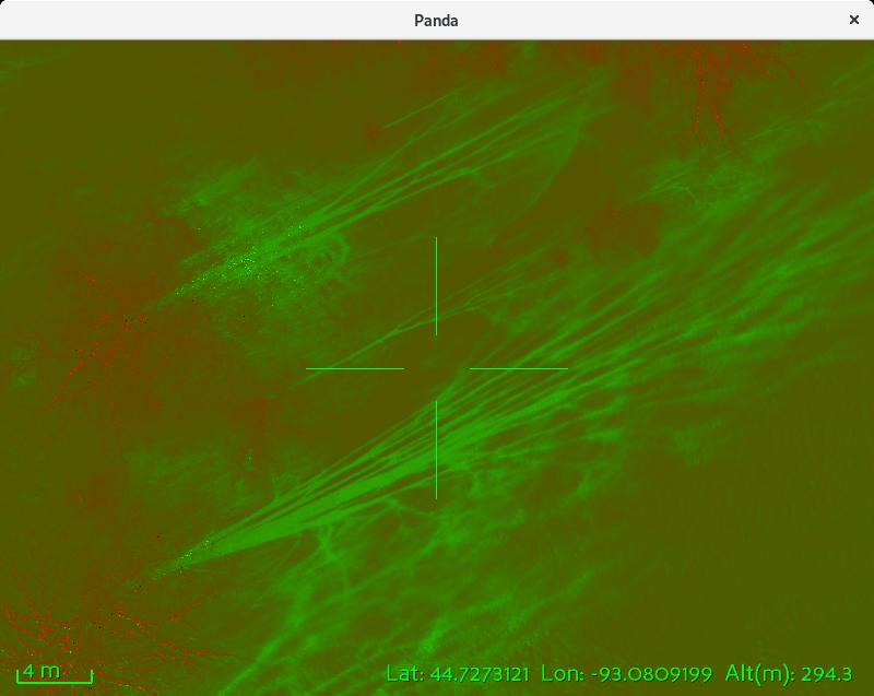
Not sure if anyone is interested in this sort of thing, but thought I’d try sharing a video showing an aerial image visualization/exploration tool I made with panda3d:
What panda gives me (that I couldn’t find a way to do with a web-based solution) is that I can make a 3d model (grid) for each of my images so that the image is projected exactly onto the surface of the world. This way all my images fit exactly together for a "seamless’ map. With panda I can keep all the images in my set available and toggle through the images that cover my center of view. My use case is looking for needles in a hay stack (invasive plants) and I’m struggling to make commercial tools like pix4d and drone deploy work effectively for our needs.
This whole project is built with python, opencv, and panda3d: https://github.com/UASLab/ImageAnalysis
I’ve been working on this code in part through my day job at the U of MN (AEM dept) UAV lab with a lot of evenings and weekends thrown in for fun.
Thanks for making a full blown opengl scene graph available for us python nuts! 
Curt.