3D Voxel Map Maker

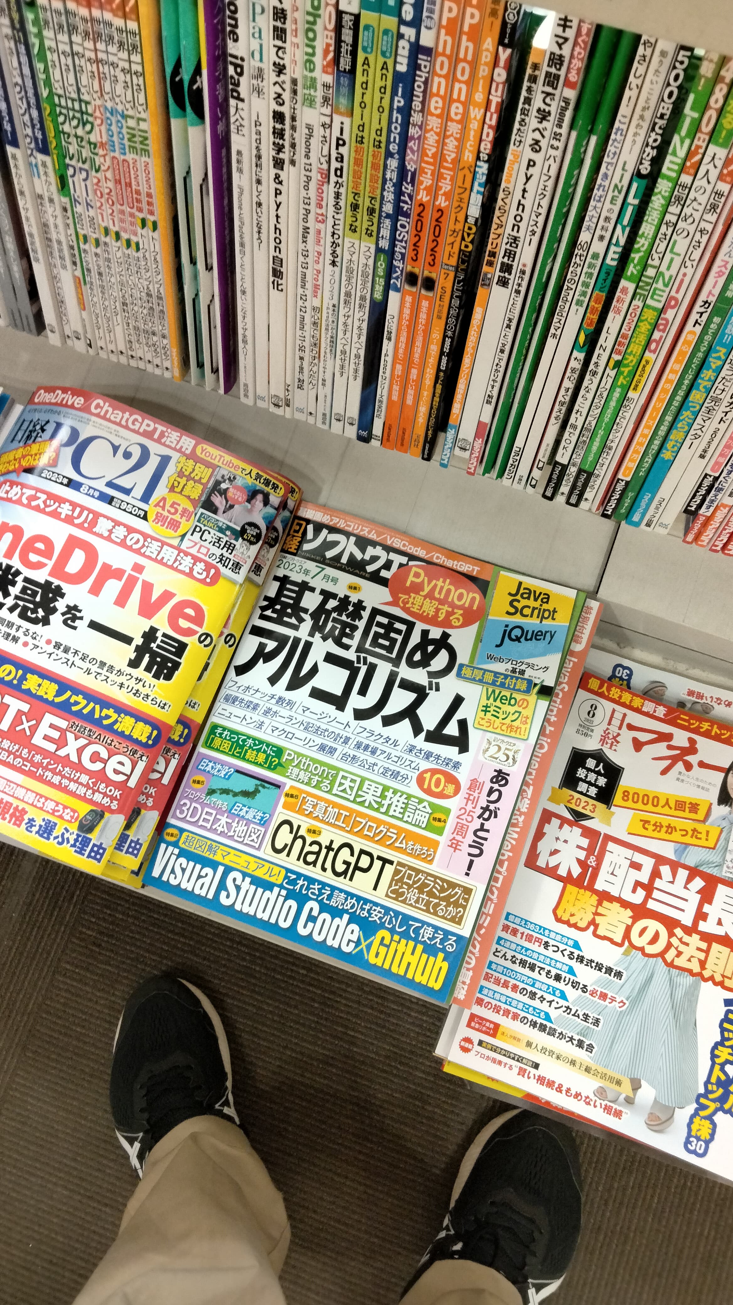
Thanks to the developers and the community. I enjoy programming as a hobby. I wrote an article about Panda3D in the famous programming magazine “Nikkei Software” in Japan.

日経ソフトウエア2023年7月号

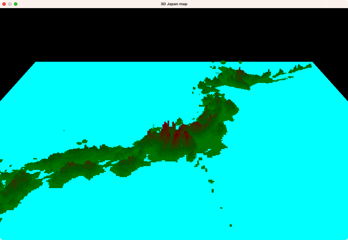
Download the elevation data from the Geospatial Information Authority of Japan website in Japan. Panda3D places a cube at a location in the elevation data. The color of the cube was changed depending on the altitude. You can rotate the camera to look at it from a different angle, submerge the land into the sea, or float it.

Unfortunately, there is only Japanese explanation. I’m sorry I’m not good at English. I will continue to enjoy programming. Thank you

6 Likes

Love to see a Panda3D screenshot on the cover of a well known magazine! Nice work and thanks for sharing here.

1 Like

You explained very well, don’t worry. : ] Cool to see GIS data visualized in a novel way!

1 Like

Thank you. Empowered. I have to study English along with programming!

That does look like a nice application, indeed! And it is good to hear of Panda3D being mentioned in such a magazine! :slight_smile:

Thank you for sharing this! :slight_smile:

(And don’t worry, your English is good enough that it’s easy to understand, which as far as I’m concerned means that it’s fine! :slight_smile: )

1 Like


東京で雑誌をみつけました! :grin:

5 Likes